Introduction to Barcelona’s Free City Maps
Barcelona, a city renowned for its rich architectural heritage and vibrant culture, offers an array of experiences waiting to be uncovered. One essential tool for discovering the hidden gems of this beautiful metropolis is the use of free city maps. Reliable maps not only serve as a navigational aid, but they also enhance the overall travel experience by guiding visitors through both well-known landmarks and off-the-beaten-path attractions.
Having a map while exploring Barcelona is crucial, as it enables tourists to navigate the winding streets with ease. This is particularly important in a city where local neighborhoods, each with its own unique charm, might easily be overlooked without proper guidance. Free maps allow travelers to efficiently plan their routes whether they choose to walk, bike, or utilize public transport, showcasing the extensive connectivity of the city’s transit system.
Moreover, free city maps often include information on local points of interest, services, and cultural sites that may not be prominently featured in standard travel guides. This aspect is particularly valuable for intrepid explorers eager to immerse themselves in Barcelona’s local culture. By highlighting less frequented areas, free maps encourage visitors to experience daily life in the city, engaging with locals and discovering authentic eateries, markets, and artisan shops that might otherwise remain hidden.


In conclusion, Barcelona’s free city maps are essential tools for anyone looking to explore the city comprehensively. They not only facilitate navigation through this sprawling urban landscape but also enhance the journey by revealing the extraordinary experiences that lie beyond the popular tourist routes.
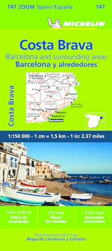
Where to Find Free City Maps in Barcelona
Barcelona is a city rich in history, culture, and attractions, and to navigate through its enchanting streets, visitors will often require a reliable map. Fortunately, there are several convenient locations across the city where tourists can obtain free city maps. One of the primary sources is the numerous tourist information centers located throughout Barcelona.
These centers not only offer free city maps but also provide helpful information regarding the city’s attractions, transport systems, and current events. Notable tourist information centers include the one located at Plaça de Catalunya and the one near the Port Vell. Visitors are encouraged to stop by these centers at the beginning of their stay to gather all necessary resources for their exploration.
Another excellent option for accessing free city maps is local hotels. Many accommodations in Barcelona provide guests with complimentary maps at the reception. It is advisable for tourists to inquire upon check-in, as hotel staff can also assist with personalized recommendations for nearby attractions and neighborhoods to visit.
In addition to physical locations, travelers can take advantage of various online resources. Websites dedicated to travel and tourism in Barcelona often offer downloadable versions of city maps that can be printed before embarking on a trip. This can be particularly beneficial for those who prefer to plan their itineraries in advance. Popular sites like Visit Barcelona provide comprehensive maps that highlight everything from major tourist sites to lesser-known local gems.
Moreover, many cafes and restaurants throughout the city also keep copies of free city maps available for patrons. Taking a moment to enjoy a meal or a coffee while consulting a map can be an excellent way to determine the next destination.
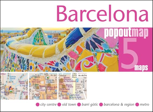
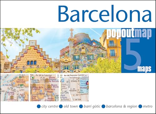
Key Features of Barcelona’s Free City Maps
Barcelona’s free city maps serve as indispensable tools for both first-time visitors and seasoned travelers. One of the most notable features of these maps is their clear representation of significant landmarks. Iconic sites such as the Sagrada Familia, Park Güell, and La Rambla are prominently marked, making it easier for tourists to navigate the city and create efficient itineraries. The inclusion of these landmarks not only aids in orientation but also enhances the sightseeing experience, allowing visitors to appreciate the rich culture and history of Barcelona.
In addition to landmarks, the maps also provide detailed information on public transport routes. Understanding the network of metros, trams, and buses is essential for those looking to explore the city beyond the main tourist attractions. With distinct color coding and clear lines, users can effortlessly identify transport options, making it possible to plan journeys with ease. This usability is further enhanced by the inclusion of transport hubs, where multiple routes intersect.
Barcelona’s free city maps also showcase various points of interest, such as museums, galleries, and popular dining locations. By highlighting these spots, the maps encourage tourists to immerse themselves in the local culture, discovering venues that might otherwise go unnoticed. Suggested walking tours are often included, providing an excellent framework for exploring different neighborhoods at a leisurely pace. These tours typically cover diverse themes, from architectural marvels to culinary adventures, offering a well-rounded view of the city.
For those who may not be fluent in Spanish or Catalan, the usability of these maps is further improved by clearly illustrated symbols and a concise legend. This design allows international tourists to interpret the information with relative ease. Each symbol corresponding to specific services or attractions has been thoughtfully crafted, contributing to an overall intuitive experience when exploring Barcelona. In conclusion, the thoughtfully designed features of Barcelona’s free city maps equip travelers with essential tools for a rewarding exploration of this beautiful city.
Tips for Using Free City Maps Effectively in Barcelona
When exploring Barcelona with free city maps, there are several strategies that can enhance your experience. First and foremost, familiarize yourself with the map’s layout before you set out. Identify key landmarks, neighborhoods, and attractions that you wish to visit. This will help you plan a coherent daily itinerary, maximizing your time and ensuring you cover essential sights without feeling rushed.
Another useful tip is to prioritize routes based on your interests. Whether you are keen on architecture, gastronomy, or local culture, tailor your walking paths accordingly. Use the city map not only to check distances but also to connect various attractions in a logical sequence. This planning will help prevent backtracking, thus saving both time and energy.
While navigating the streets of Barcelona, stay oriented by using the map’s features effectively. Make use of the street names, and notable sites marked on the map to maintain your bearings. If you find yourself on an unfamiliar street, refer back to the map to regain your sense of direction. This practice reduces frustration and allows for a more enjoyable exploration of the city.
Many travelers overlook the beauty of spontaneous discoveries. Though it is essential to stick to your planned routes, allow some flexibility in your schedule to explore side streets, local shops, and cafes that may not be highlighted on the map. Often, these unplanned stops lead to the most authentic experiences, offering a glimpse into local life that you might otherwise miss.
Common misconceptions about free city maps include the belief that they are only suitable for tourists. In reality, even seasoned travelers can benefit from these resources. Embrace both planned paths and the allure of spontaneous adventures, and allow your city map to guide you through the vibrant streets of Barcelona, enriching your travel experience.